

The Day a New Dealership Broke an Entire Sales Territory
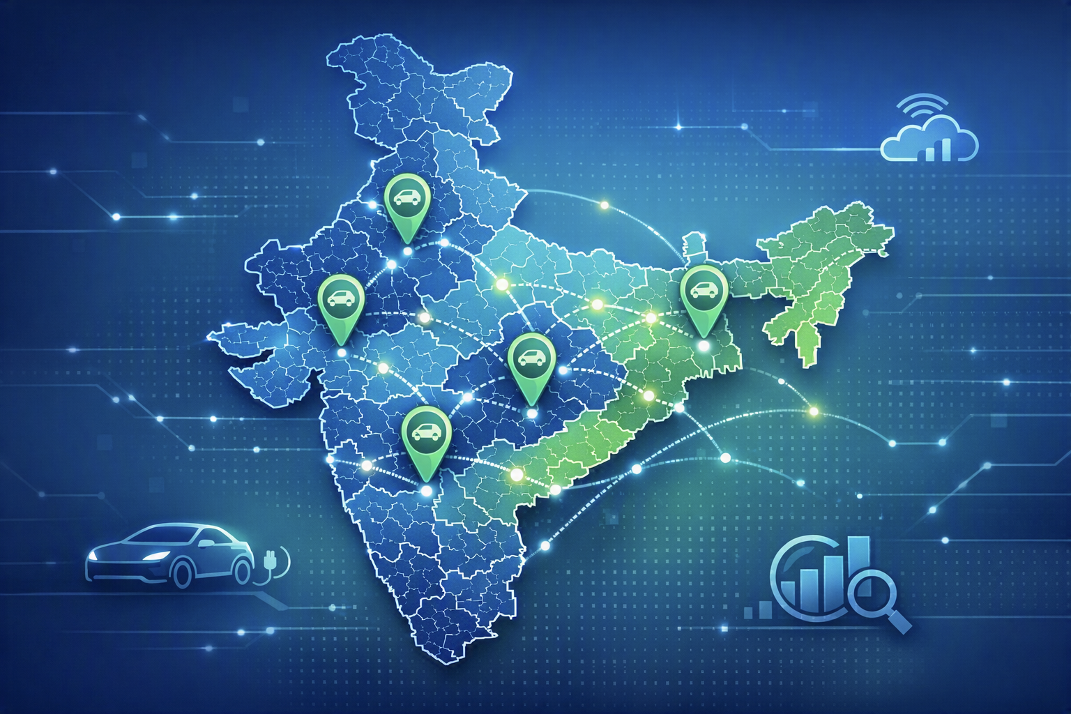
When a new dealership/store/branch opens, hundreds of pincodes and CRM territories shift. See how automated, geography-aware territory allocation keeps them in sync.
A new EV dealership opened on Tuesday. Nobody expected it to affect hundreds of pincodes, dozens of sales representatives, multiple test-drive allocations, CRM workflows, and the customer experience across an entire region. But it did.
Not because anything went wrong. Because that's exactly what should happen.
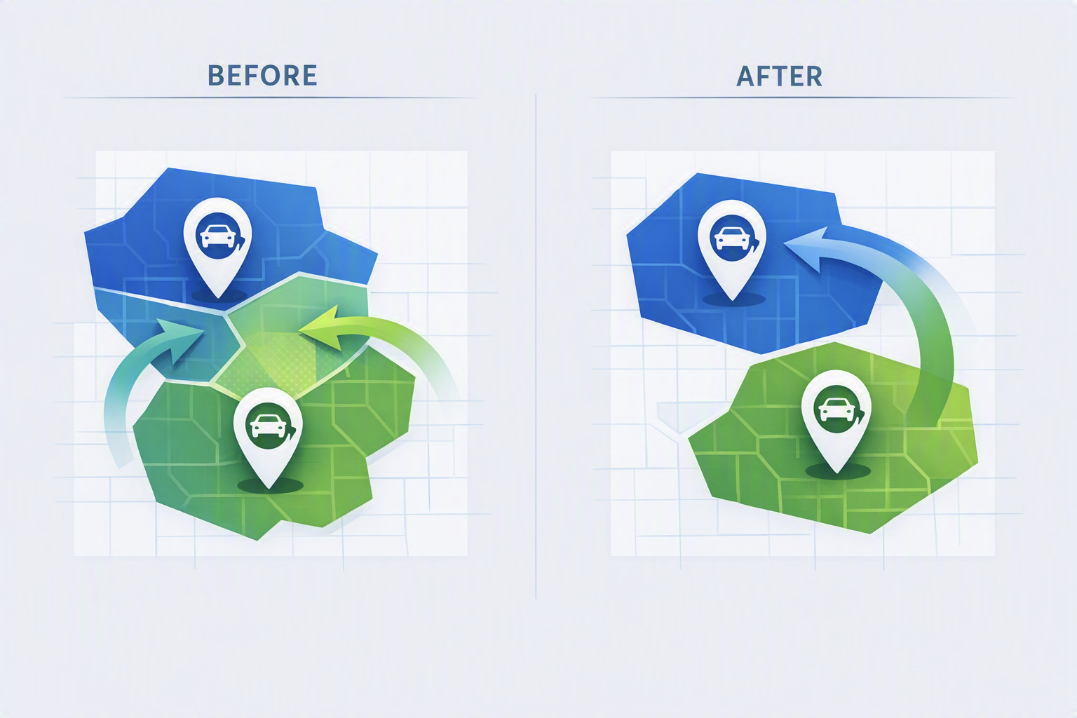
Every time a new dealer enters a network, the geography of the business changes. Customers who once belonged to one store may now be closer to another.
Test-ride requests that were previously routed through one dealership should move elsewhere.
Pincode territories need to be recalculated.
Service responsibilities shift.
Lead assignments change.
And if none of that happens automatically, the CRM starts operating on yesterday's geography.
For fast-growing retail networks, that is where the real problem begins.
The Hidden Cost of Growth
Most companies think expansion creates new opportunities. What they often miss is that expansion also creates new complexity.
Consider a rapidly growing EV manufacturer expanding across India.
Every new dealership improves market access. But every new dealership also changes the territorial balance of existing stores.
An EV dealer in Bengaluru doesn't operate in isolation.
A dealer in Hyderabad doesn't operate in isolation.
Every location influences the catchment of nearby locations.
Add one new store and hundreds of pincodes may need reassignment.
Close a store and another set of territories must be recalculated.
Increase a dealer's operational radius and the impact can ripple across an entire region.
The challenge wasn't deciding where a customer should go. The challenge was keeping those decisions updated continuously as the network evolved.
Geography Doesn't Follow Org Charts
Most CRM systems are excellent at storing information. They are far less effective at understanding geography.
What it doesn't understand is:
"If this store opens tomorrow, which customers are now closer to it?"
"If this dealer's catchment expands from 20 km to 30 km, which neighbouring dealers lose territory?"
"If a dealership closes today, how do we redistribute demand instantly?"
Those are spatial questions. And traditional CRM workflows aren't designed to answer them.
A Seemingly Simple Question
Whenever a dealer is added to CRM Master, determine the areas that should belong to that dealership and update the system automatically.
Simple. Until you ask a follow-up question.
- How exactly do you decide which pincodes belong to which store?
- Straight-line distance?
- City boundaries?
- Administrative districts?
- Sales territories?
- Customer density?
- Road networks?
- Travel time?
All of them produce different answers. And some answers are significantly better than others.
Why "Nearest Store" Isn't As Simple As It Sounds
When people hear the phrase nearest dealership, they usually imagine a circle on a map.
Reality is much messier.
A location that's 10 kilometres away may require a 30-minute drive.
Another location 15 kilometres away might be reachable in 12 minutes via a highway.
One pincode could overlap multiple dealerships.
Another might sit precisely at the edge of two territories.
The real world doesn't organize itself neatly into circles.
So instead of using simplistic distance buffers, we built a territory allocation engine driven by actual service catchments and proximity logic. The system continuously evaluates how territories should be reassigned whenever a new dealer enters the network or an existing one changes.

When Growth Becomes a Geometry Problem
As the dealership network expanded, another pattern emerged. Coverage wasn't evenly distributed.
Some stores were serving extremely localized markets, while others were responsible for remarkably large territories. Analysis of thousands of pincode assignments revealed both hyper-local catchments and long-distance coverage patterns across the network.
This created an important strategic question:
Are stores located where customers are?
Or are customers being forced to travel because stores aren't located where demand exists?
Once territory data was visualized spatially, these coverage gaps became immediately visible.
What looked balanced in a spreadsheet looked very different on a map. And maps rarely lie.
Whenever a dealership is added, relocated, closed, or has its catchment modified, the system recalculates impacted territories and returns exactly which dealership mappings have changed, along with updated geographic assignments. The resulting output can be written directly into CRM workflows without requiring manual intervention.
The objective wasn't just automation. The objective was ensuring that geography and business operations stayed synchronized. Always.
More posts

Sep 11, 2026
Schools, Enrolment and Teachers: There Aren't Enough Children
Aug 12, 2026
Growth of India's Share Of Global GDP in 15 Years: From 2.5% To 3.3%
Aug 1, 2026
Bengaluru's Traffic Gridlock: Data Points to an Uncomfortable Truth

Jul 27, 2026
Hyperlocal Location Identification: Why the 'Periphery' is the New Frontier for Business
Put location to work.
See how latlong.ai products fit your team. Book a 30-minute walkthrough with our solutions team.