

Notes from the latlong.ai team.
Product updates, case studies, and location intelligence deep dives.
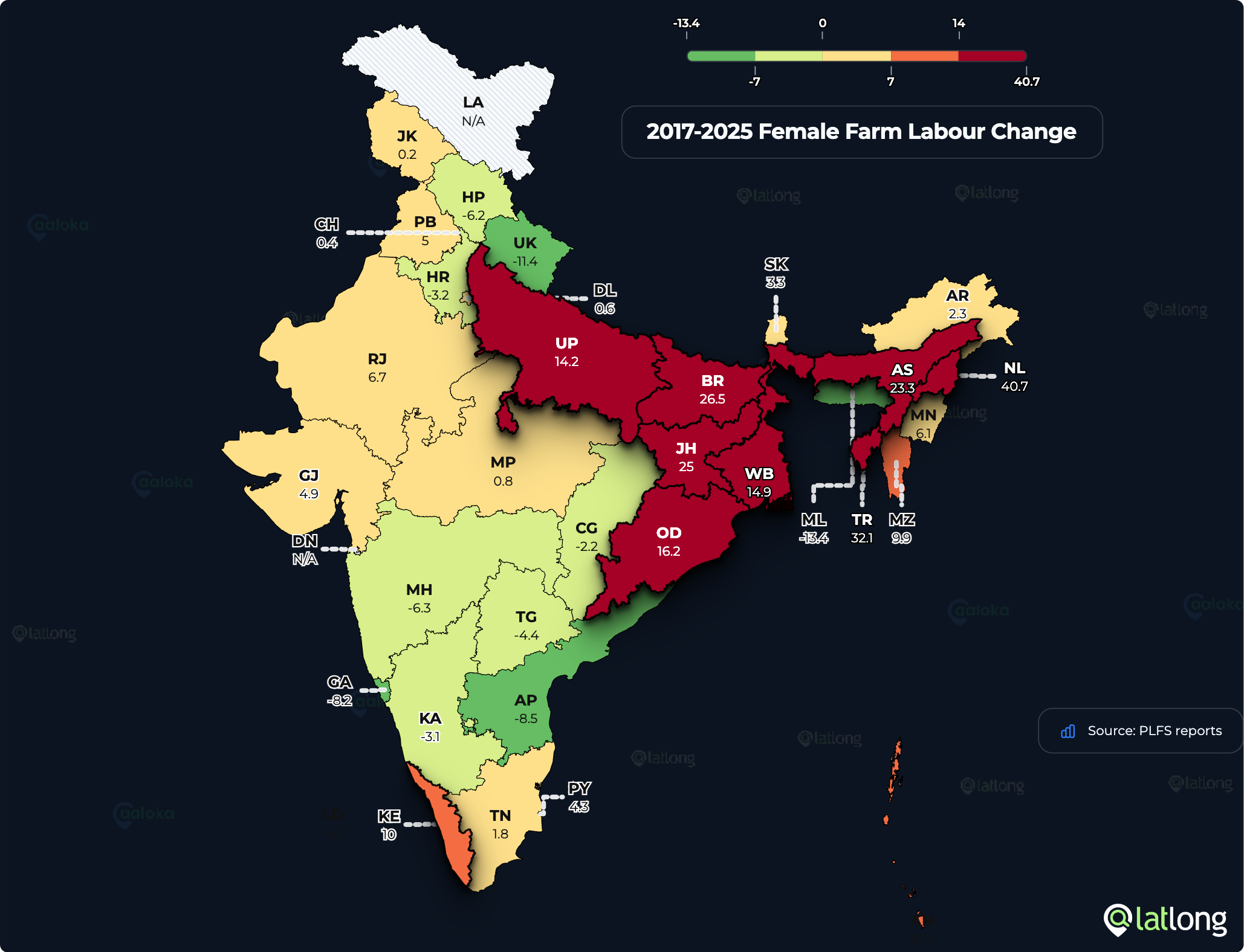
Men Are Leaving India's Farms; Women Are Joining
Agriculture's share of India's workers has barely moved in seven years. Beneath that flat number, men's farm share fell 5.7 points while women's rose 5.3. More Indian men now work in services than on farms.
By Puranika Narayana Bhatta
Read more →More from the blog
The Day a New Dealership Broke an Entire Sales Territory
When a new dealership/store/branch opens, hundreds of pincodes and CRM territories shift. See how automated, geography-aware territory allocation keeps them in sync.

Schools, Enrolment and Teachers: There Aren't Enough Children
A Niti Aayog report showing India closing 94,000 government schools and a drop in enrolment over a decade has set off debate about the state of school education. Our analysis of the same UDISE+ data, layered with Latlong's own demographic estimates, points to a different cause: schools are being consolidated because there simply aren't enough school-age children to fill them.
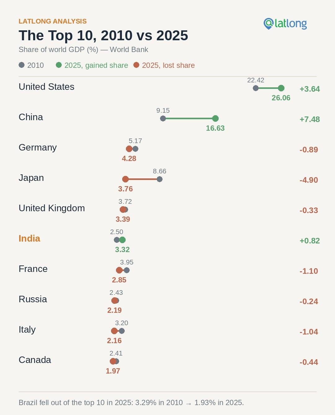
Growth of India's Share Of Global GDP in 15 Years: From 2.5% To 3.3%
India's share of world GDP rose from 2.5% in 2010 to 3.3% in 2025 — the third-largest gain of any country, trailing only China and the United States. Mapped with Latlong's Aaloka analytics engine, here's how the world's economic hierarchy reshuffled over 15 years, and why India's climb is more impressive than the headline number suggests.
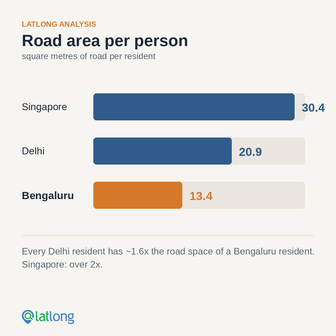
Bengaluru's Traffic Gridlock: Data Points to an Uncomfortable Truth
Bengaluru's congestion is usually framed as roads vs public transport. Our analysis of road area per capita across Bengaluru, Delhi, and Singapore suggests the real problem is more fundamental: the city simply does not have enough road space.

Hyperlocal Location Identification: Why the 'Periphery' is the New Frontier for Business
City centers are saturated. Discover how Latlong Aaloka's location intelligence platform uncovers high-potential peripheral markets like Nelamangala.

Bigger Isn't Always Better: Telangana's Next MSME Lending Hotspots
Why Telangana's biggest districts aren't the best MSME lending markets. How location intelligence and UPI data reveal emerging credit hotspots first.
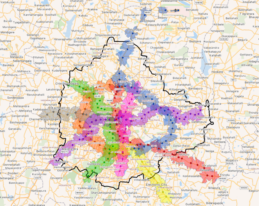
The Metro Effect: How Much of Bengaluru Does Namma Metro Cover?
Bengaluru has officially become the world's second most congested city. With the Yellow Line inauguration, we analysed exactly how many residents are now within reach of a metro station.

Right Place, Real Results: A Smarter Blueprint for Retail Expansion
There are 3 reasons a business succeeds or fails — Location, Location, Location. Here is how we used data to help a major watch retailer scale their multi-brand boutiques confidently.

Latlong Geocoding API: now 4× more accurate than Google Maps
Our latest R&D results: Latlong's Geocoding API is now 4× more accurate than Google Maps API for Indian addresses, with average error of just 297 m versus Google's 1,280 m.
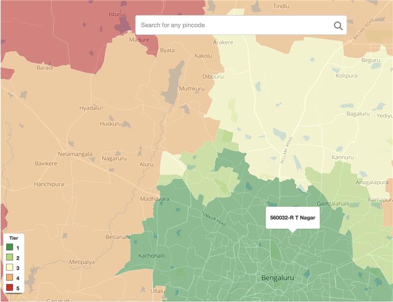
Driving price differentiation using customised location intelligence for a lender
India's economic contrasts — from hyper-affluent urban pockets to rapidly evolving rural markets — demand micro-level segmentation. Here's how we helped a leading NBFC overhaul its pricing model.
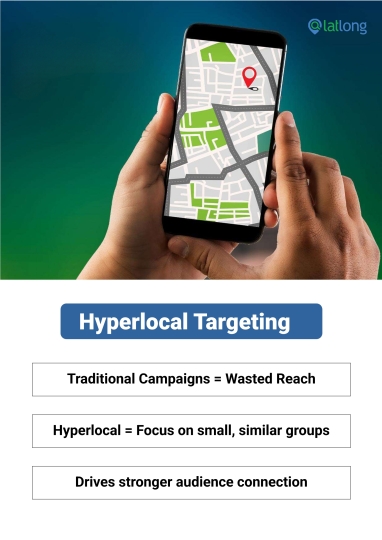
Hyperlocal Targeting: A Case Study of Precision Marketing
Broad campaigns often fail to resonate. Brands that succeed tailor their messages to specific segments. This is how Latlong mapped 200,000 polling booths and millions of voter residences to deliver measurable electoral gains.
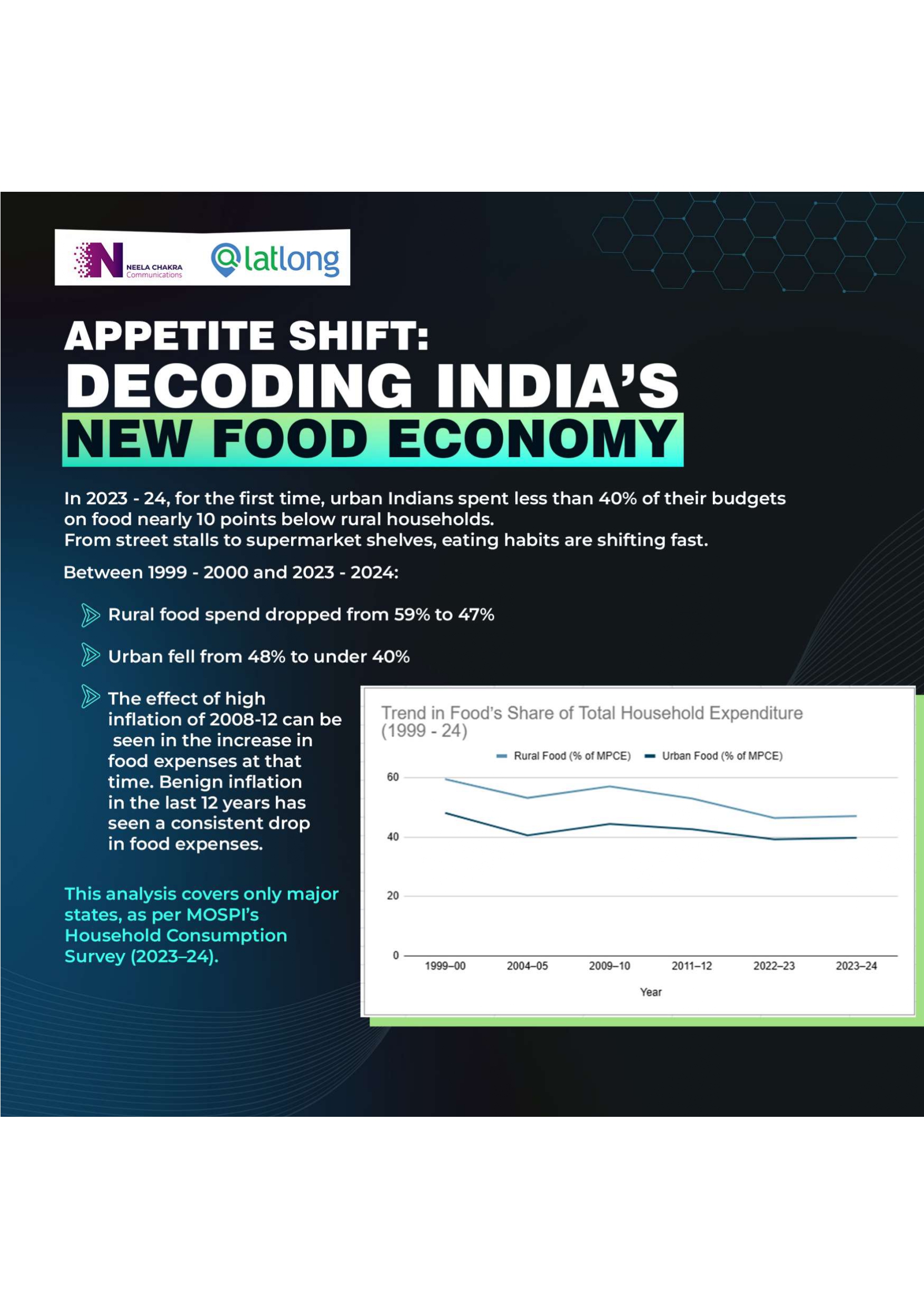
Decoding India's New Food Economy
In 2023–24, for the first time, urban Indians spent less than 40% of their budgets on food — nearly 10 points below rural households. From street stalls to supermarket shelves, eating habits are shifting fast.
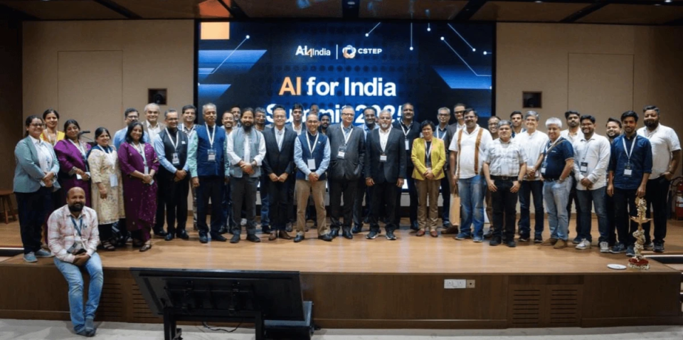
Building India's MapTech: Insights from Our CEO Narayana Bhatta
At Latlong, we are building a mapping stack for the world, combining AI, open data, and geospatial intelligence to solve deeply local problems. Our CEO shared insights on the AI4India podcast.
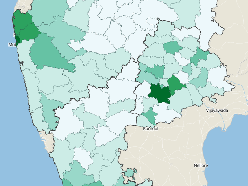
Bengaluru – leading growth by a distance
Bengaluru is growing at a significantly faster pace than other large Indian cities. A GDI of ₹6.8 lakhs — more than 4× the national average — explains the large-scale migration to the city.
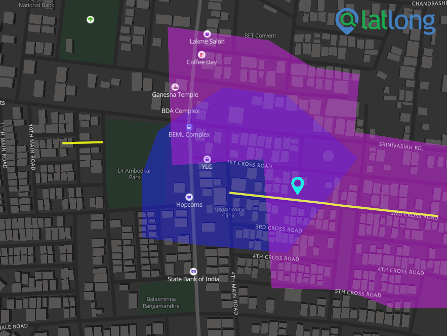
Latlong maps API more accurate than Google maps API
IIT Kanpur's National Geodesy Centre has verified a benchmarking study which finds Latlong's Geocoding API to be 2× better than Google Maps API — and 35× better than Bing.
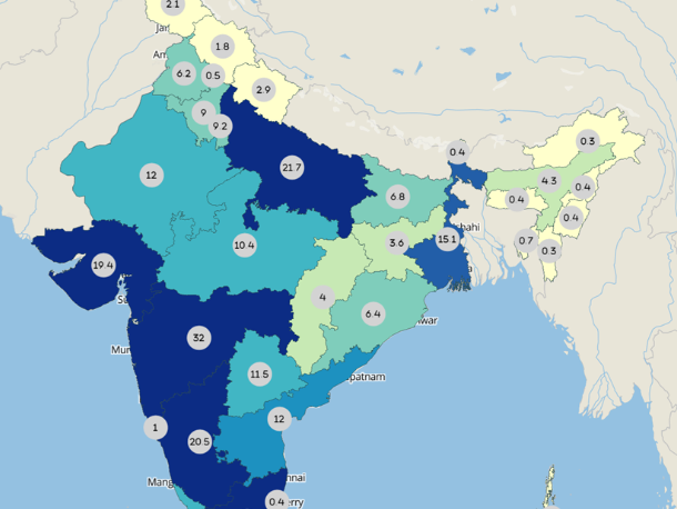
Karnataka and Uttar Pradesh at the forefront of growth – the pandemic effect
India's GDP is ₹230 trillion for 2021–22. What's remarkable is that the incremental growth is not coming from the largest states — UP and Karnataka are delivering 2-year CAGRs in excess of 12%.
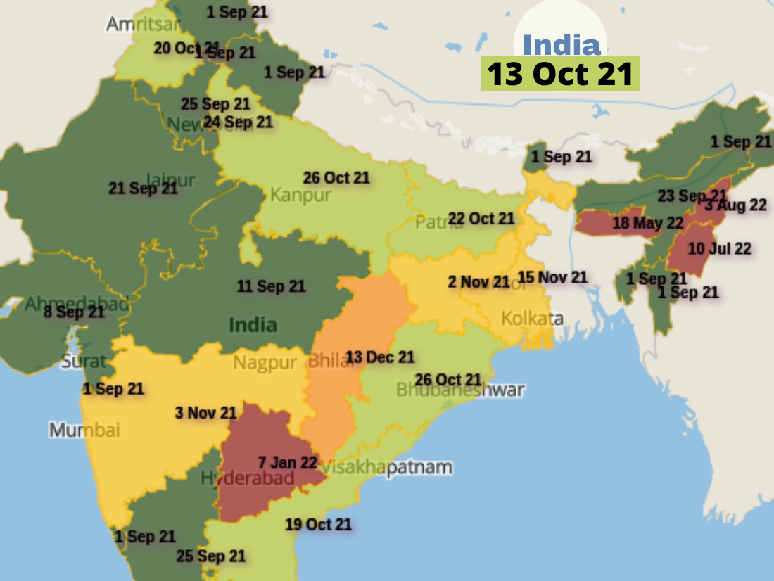
When will India Cover 80% adults with First dose?
India has administered 710+ million doses. Team Latlong created a map of when different states would reach 80% vaccination coverage of eligible population — a new feature in our Aaloka platform.
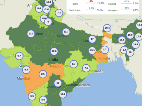
Pandemic Effect: Credit Growth Becomes More Distributed
FY21 was a challenge for most businesses. While credit growth was just 5.6% nationally, the distribution tells a fascinating story — and one with huge implications for financial services.
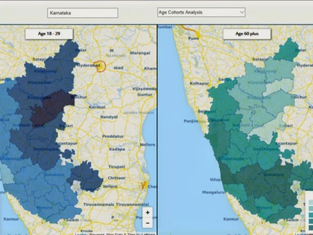
Age demographics, geo-spatial distribution and marketing
India's median age of 28 is well-known, but the geographic heterogeneity beneath that number is what matters for marketers. Districts and even neighbourhoods vary sharply in their age cohort distribution.
Put location to work.
See how latlong.ai products fit your team. Book a 30-minute walkthrough with our solutions team.